More Severe Weather for Parts of the Northeast U.S. And Northern Great Plains This Late Afternoon/Evening!
Dr. Reed Timmer, Lead Meteorologist July 09, 2016
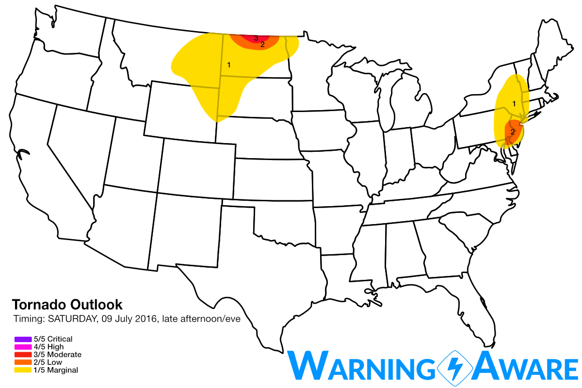
Three areas of relatively enhanced severe weather threat will likely materialize this Saturday late afternoon and evening:
-
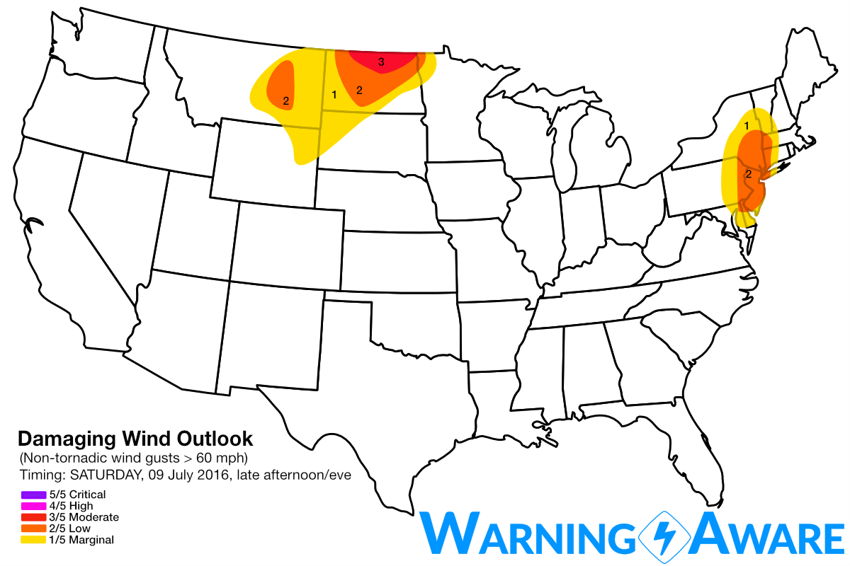
Supercell and even low tornado threat along warm front and ahead of compact trough across eastern NY, extreme eastern PA through southern NJ, possibly including NYC depending on how far north the warm front retreats. Storms are already developing along a cold front in eastern PA and will gradually intensify, possibly becoming supercellular especially in central NJ where warm front will likely reside by 3-4 pm EDT (low, 2/5 tornado, wind, hail threat)
-
Potential for intense supercells, very large hail, tornadoes centered across north-central ND especially near the Canada Border and into extreme southeast Saskatchewan and southwest Manitoba with convective initiation likely holding off until 5-6 pm CDT given slight ridging aloft. I wouldn't be surprised to see a strong tornado or two on the north side of the Canada border this evening given overlap of strong instability, low-level shear. If I were chasing today I would target the tornado threat from Carlisle, SK area through Pipestone, MB. These tornadic storms could move southeast from SW Manitoba into extreme northern ND by late evening as well (moderate, 3/5 tornado, wind, hail threat)
-
High-based severe storms are possible just east of the mountains across central MT to as far south as the CO Front Range. The greatest threat for severe weather with this High Plains regime will be in central MT. Strong straight-line winds given greater evaporational cooling rates within the rain/hail cores will be the main threat, as well as from the hail of course. Other intense storm development is likely over the Black Hills in western SD (low, 2/5 tornado, wind, hail focused in central MT).

Sunday: The massive upper-level trough currently over the northwest U.S. will finally begin to eject, with a more widespread and significant severe weather threat possibly across eastern MT through the Dakotas, possibly into southern Saskatchewan and Manitoba. All hazards will be possible with these storms including the threat of a strong tornado or two, especially across extreme western ND by evening.
Monday: The above mentioned trough continues to eject and mature, with the severe weather threat shifting to Minnesota. All severe weather hazards will be possible with these storms as well across MN, including possibly the Minneapolis-St. Paul area.
The active severe weather pattern for July 2016 continues.
WarningAware provides a highly customizable service to monitor weather and emergency alerts for businesses and organizations.
Our service can monitor your locations for alerts and send intelligent notifications to both internal and external contacts.
Learn More