Severe Weather/Tornado Threat Upgraded for Sunday Evening Across N OK/S KS
Dr. Reed Timmer, Lead Meteorologist April 22, 2016
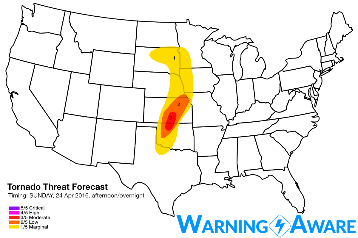
Based on recent trends in forecast model guidance, I've decided to upgrade the tornado threat on Sunday late afternoon/evening to a 3/5. Previously, it looked like the moisture return would not yet be sufficient by Sunday east of the dry line for significant severe weather with this lead upper-level shortwave, but now I think that the cap will easily be breached along the dry line well south into western OK by evening.
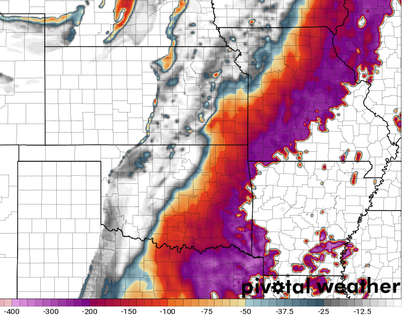
The image below shows model forecast mixed-layer CIN at 7 pm Sunday, with a thick uncapped warm sector just east of the dry line throughout western OK through central KS.
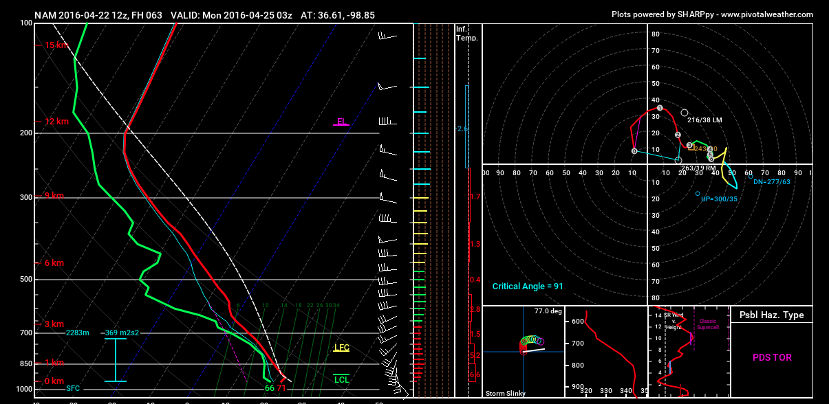
While low-level wind shear will be relatively weak throughout the afternoon east of the dry line on Sunday, the low-level jet will undoubtedly intensify rapidly near and just after sunset across OK into southern KS. Forecast soundings at 03z near the KS/NW OK border look very conducive for tornadoes with any surface-based supercells that survive the evening decoupling process.
It still looks like Tuesday will be a very significant severe weather day across N TX, OK, and KS including the possibility of strong tornadoes. I've seen many comparisons between this upcoming system and the April 26, 1991 Andover, KS F5 tornado setup, but keep in mind a lot can still change between now and then. I'll likely be upgrading the severe weather threat maps for Tuesday and other days next week as the forecast becomes more clear. Stay tuned.
WarningAware provides a highly customizable service to monitor weather and emergency alerts for businesses and organizations.
Our service can monitor your locations for alerts and send intelligent notifications to both internal and external contacts.
Learn More

