Potential for Nor'easter Spring Snowstorm for Parts of Southeast New England!
Dr. Reed Timmer, Lead Meteorologist March 19, 2016
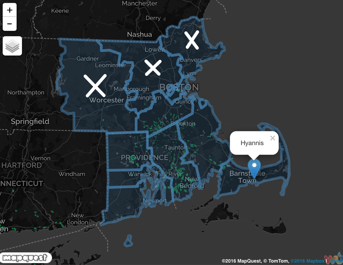
While forecast model uncertainty still exists, it appears likely that parts of southeast New England will experience a spring snow event Sunday night through Monday early afternoon. It appears now that the heaviest band of snow (4-8”) will set up across southeast Massachusetts, likely right through Cape Cod. A slight shift to the north of the forecast track with a stronger storm system could easily bring that heavy snow band into the Providence and Boston Metro areas, resulting in much more substantial impacts. A winter storm watch remains in effect for all of RI including Providence, and southeast MA near and south of Boston including Cape Cod. The northernmost three counties have cancelled the winter storm watch given the recent southward trend of the nor’easter track.
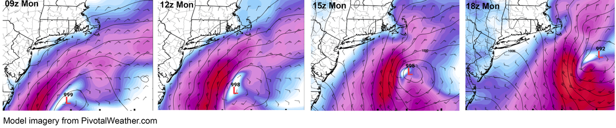
The kicker for this spring nor’easter is a potent upper-level shortwave rotating around a higher amplitude trough and ejecting northeast from the Ohio River Valley. The strength and timing of this feature will determine exactly where the heaviest snow will fall and how high the totals will be. If the below upper-level trough strengthens more rapidly and develops a negative tilt by the Northeast U.S., then the stronger coastal low pressure will also track more inland, bringing the heaviest snow into the I-95 corridor in New England including the Boston area. Even NYC could get a few inches of snow at least under this scenario.
I’ve included below the forecast surface low track from the 12 NAM model, which is actually weaker initially with the surface low and a track farther offshore as compared with the GFS, GGEM, and even Euro models. As a consequence of this track, the NAM has the lightest of the snowfall totals along the I-95 corridor from Providence to Boston, but still shows Cape Cod, Nantucket receiving 4-6” of snow with locally higher amounts on the Cape. If the intensification of the coastal low happens earlier than is shown below with the 12z NAM model, and the GFS/GGEM solution is more realistic in the end, then I might target the I-95 corridor near or just south of Boston for the heaviest snow.
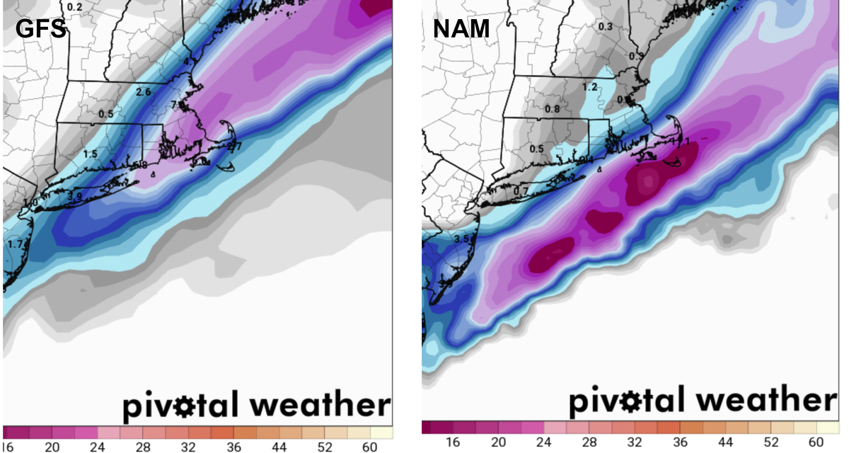
Here are the forecast snowfall totals from the morning GFS and NAM models, showing two of the many scenarios offered by the models. Keep in mind that these nor’easter snowstorms are notoriously difficult to forecast even a day or two before the event, as the coastal low could easily intensify more quickly than predicted off the coast and bring the heavy snow even into NYC area Sunday night. Right now though, it looks like the chase is on for a New England spring special.
WarningAware provides a highly customizable service to monitor weather and emergency alerts for businesses and organizations.
Our service can monitor your locations for alerts and send intelligent notifications to both internal and external contacts.
Learn More